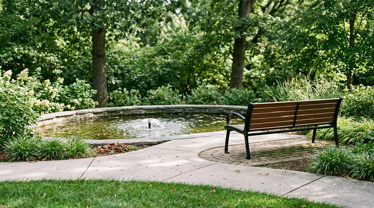

Thinking about buying land in Wadsworth? The right parcel can be a great path to building the home you want, but zoning rules, septic feasibility, and road access will make or break your plan. You want clarity before you commit, especially if a lot needs a private well or driveway permit. This guide walks you through how to verify zoning, order the right soil tests, confirm legal access, and spot common red flags using local tools. Let’s dive in.
Zoning basics in Wadsworth
First, confirm which rules apply. Parcels inside the Village limits follow the Village of Wadsworth zoning ordinance, while lots in unincorporated areas follow Lake County’s rules. Start by checking the parcel’s jurisdiction and zoning district.
- Review district use, setbacks, and lot coverage in the Village code. The Village also includes overlay districts, such as scenic corridor areas, that can limit structures and placements. See the Village code library for details on zoning districts and overlays.
- If the parcel is unincorporated, use Lake County GIS and speak with Planning, Building and Development to confirm the zoning and applicable standards.
Helpful sources:
- Village of Wadsworth municipal code and zoning: Village code library
- Lake County planning maps and early assistance: Lake County GIS and mapping
What to verify in zoning
- Zoning district and permitted uses for your intended use.
- Minimum lot size, frontage, and setbacks for buildings and accessory structures.
- Overlay districts or special restrictions that affect the buildable area.
- Recorded plats, covenants, easements, or deed restrictions that add limits beyond zoning. Use the County recorder’s eSearch to pull documents and review the title.
Resource: Lake County Recording eSearch
Septic, soil tests, and wells
If the lot is not served by public sewer, you will need an onsite wastewater system that meets Illinois and Lake County standards. Illinois’ Private Sewage Disposal Code sets statewide rules, and the Lake County Health Department reviews, permits, and inspects systems.
- State rules: Illinois Private Sewage Disposal Code, Part 905
- County program and permits: Lake County Onsite Wastewater
How the septic process works
- Confirm if public sewer is available. If not, plan for an onsite system.
- Order a professional soil evaluation. A licensed soil scientist or engineer will complete borings and profiles as required. Lake County accepts soil evaluations that follow state and county standards.
- Design and permit. A licensed designer or engineer will propose a system, then submit plans to Lake County for an Individual Sewage Disposal permit. The County inspects before backfilling.
- Plan for a replacement area. Most codes require reserving a future replacement field area on the lot.
Key site considerations
- High groundwater, hydric soils, or low areas can rule out simple trenches. Alternative systems like mounds or aerobic units may be allowed, but they cost more and require maintenance.
- Soil surveys and county GIS layers are useful screening tools, but only a site-specific evaluation is definitive. Start with NRCS soil data, then budget for professional testing.
Resources:
- County permits and licensed professionals: Lake County Onsite Wastewater
- Soil mapping for screening: USDA NRCS digital soil mapping
Private wells
If the lot needs a private well, Lake County issues well permits, enforces construction standards, and requires minimum distances from septic fields. Confirm well siting early to avoid conflicts with the septic layout.
Resource: Lake County Water Wells
Timing and costs
Simple sites can move through soil evaluation and septic permitting in a few weeks. Wet soils, floodplain, or wetlands can extend timelines by months, especially if alternative designs or additional reviews are required. Permit fees and contractor pricing change, so verify current County fees and get quotes from licensed designers and installers through the County program.
Access and driveways
You need both legal and physical access. Legal access means a recorded public road frontage or a recorded easement that appears in the title work. Lenders and title insurers require this.
- Confirm recorded access and easements through the County recorder and your title commitment.
- If you plan a new or relocated driveway on a county road, apply for an access permit from the Lake County Division of Transportation. If the road is a state route, permits come from IDOT. Township roads are handled by the township highway authority.
- Driveway permits often require a plan, sight-distance checks, and drainage features like culverts.
Resource: LCDOT permits and access requirements
Utilities
Check the availability and path for electric, gas, and telecom. Extending lines to a remote parcel can require easements and coordination with utilities and the road authority. Confirm water and sewer status in the parcel record, then plan for a well and septic if public service is not available.
Floodplains and wetlands
Floodplain and wetland constraints can change what and where you can build, and they affect septic and well setbacks.
- Use FEMA’s Map Service Center to check if any part of the lot lies in a Special Flood Hazard Area and to download a FIRMette for your records.
- Review Lake County GIS layers for hydrology, soils, contours, and potential wetlands. A formal wetland delineation may be required if mapping suggests wetlands on-site.
Resources:
- Flood zone maps: FEMA Map Service Center
- County GIS and environmental layers: Lake County GIS Maps
Map and record tools to use
- Zoning and overlays: Village of Wadsworth code library
- Parcel and environmental layers: Lake County GIS Maps
- Flood zones: FEMA MSC address search
- Recorded easements, plats, covenants: Lake County Recording eSearch
- Soils screening: USDA NRCS digital soil mapping
7-step due diligence checklist
- Confirm jurisdiction. Is the parcel inside the Village of Wadsworth or in unincorporated Lake County? Check the Village code and County parcel viewer.
- Pull parcel data and a map. Use Lake County GIS for PIN, acreage, aerials, and nearby features.
- Search recorded documents. Look for easements, plats, covenants, and restrictions, then obtain a title commitment.
- Check floodplain. Download a FEMA FIRMette and note any Special Flood Hazard Areas.
- Screen soils. Use NRCS and County soils layers, then order a professional soil evaluation if septic is likely.
- Plan utilities and access. Confirm sewer and water status, well feasibility, and whether a driveway permit is needed based on the road authority.
- Schedule early assistance for complex sites. Lake County can flag wetland or grading issues before you submit full plans.
When to call the county
If your site shows wet soils, floodplain, steep grades, or unclear access, contact Lake County Planning, Building and Development for guidance before you finalize a contract. The County’s mapping and early assistance resources can save you time and rework.
Resource: Lake County GIS and mapping
Ready to move from research to results? If you want a second set of eyes on a Wadsworth parcel or a plan to navigate zoning, septic, and access, connect with Gina Shad. We’ll help you vet the details and move forward with confidence.
FAQs
What zoning applies to a land parcel in Wadsworth?
- Check if the lot is inside the Village, which follows the Village zoning ordinance, or in unincorporated Lake County, which follows County rules; start with the Village code library and Lake County GIS.
How do septic soil tests work in Lake County?
- A licensed professional completes a soil evaluation with borings and profiles; a designer submits plans for an Individual Sewage Disposal permit through the County’s program; see Lake County Onsite Wastewater.
Who issues driveway permits on county roads?
- The Lake County Division of Transportation issues access permits for driveways connecting to County highways, while IDOT handles state routes; start with LCDOT permits.
How do I confirm legal access to a land parcel?
- Verify that access appears in recorded documents, such as a platted public road or recorded easement; search the County recorder and review your title commitment at Lake County Recording eSearch.
What commonly delays land development near Wadsworth?
- High groundwater, hydric soils, floodplain or wetlands, and unrecorded access often add time or costs; begin with FEMA, County GIS layers, and a soil evaluation, then consult Lake County Onsite Wastewater for septic feasibility.